Hydrological Monitoring Field Day 9/30/2023
The crucial benefits that wetlands provide for humans and non-human organisms are dependent on the ability of wetlands to capture, store and release water (basically, their ongoing hydrological functioning). While the water levels and flow rates of many streams, rivers and lakes are monitored and the data made publicly available via online platforms like the USGS’s Water Data for the Nation, such monitoring efforts and data are generally lacking for palustrine wetlands, including those in Mt. Hood National Forest. Thus, if we want to understand how much water is being stored and/or released by wetlands of different types (including wetlands with and without active beaver activity), then we need to start collecting these data ourselves via grassroots, volunteer-driven efforts. To date, the Institute for Natural Resources (PSU), in collaboration with Bark, has installed automated data loggers in 11 wetlands in MHNF and these loggers have recorded over 3 years’ worth of data on hourly changes in water levels and temperatures! These data provide baseline information about how water levels in different types of wetland zones respond to seasonal changes in precipitation and temperature, unusual climatic events (like heat domes), and even disturbances like fire.
Volunteers can assist with these wetland monitoring efforts by helping to, 1) carry and install additional monitoring equipment; 2) download data from data loggers already installed in monitoring wells; 3) record water depth measurements at specific locations where monitoring wells are not present; 3) record other types of data about sites (e.g., plant phenology observations and photos; wildlife sightings, etc.).
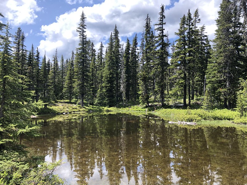
During our field day in September, we’d like to install a third PVC well and data logger at the Hideaway Lake North site. Volunteers can help carry the PVC pipe into the site, observe the process of installing that in the ground and the data logger in the well. We’ll demonstrate how to read out the data from Well 17, including the measurements we make of the “reference level” (a critical piece of information). We’ll read out data from Well 16 in the pond. Volunteers can take turns borrowing the PFD and paddling the pack raft around the pond. Folks can also help collect water depth measurements at “manual measuring points” MM1, MM2, and MM3 and record observations of plant phenology at Well 17.