Field Immersive: Wetland Mapping Verification
Part 2 in a series of classes about Bark’s Wetland Mapping Verification. If you missed Part 1, Intro to Wetland Ecology and mapping, look out for another session later this summer!
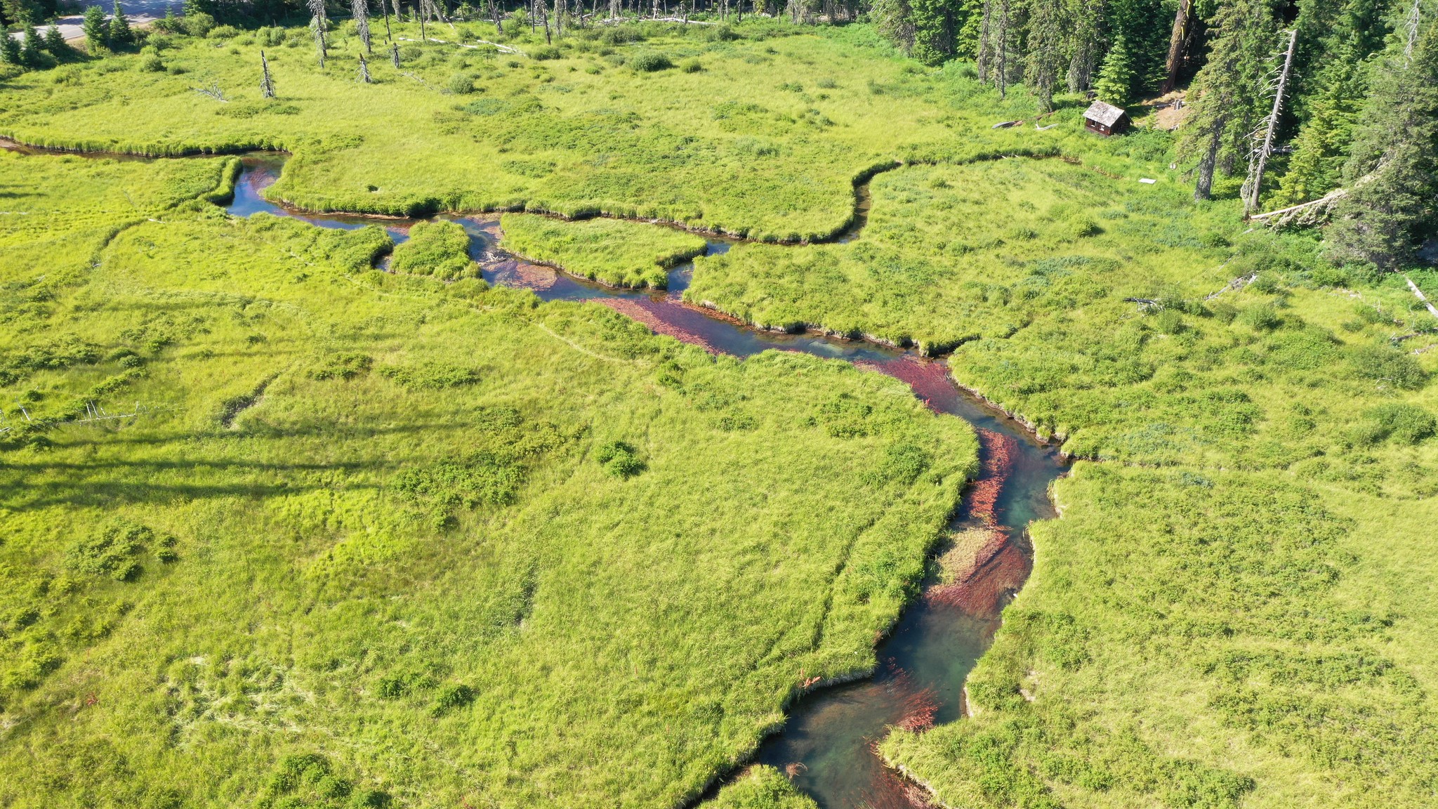
In this class, we’ll go into the field to do some hands-on Wetland mapping Verification using Bark’s Wetland mapping data sheet and our knowledge from ‘Intro to Wetland Ecology and Mapping’. We’ll look for hydrology, hydric soils and hydrophytic vegetation in several locations within our survey site to determine if the Cowardin codes and site boundaries from our aerial imagery maps match what we find on the ground. The data collected in this field immersive will go directly into Bark’s Wetland Mapping Verification database and be submitted to the National Wetland Inventory so we can help update wetland maps around Mt. Hood. This will greatly increase protections for these sensitive and important ecosystems!
This field immersive will follow the schedule and design of a typical field day. This event has a 4/5 difficulty rating. Be prepared for bushwhacking, walking in shallow water, and traversing logs, hills and uneven ground. Check out our field day packing list for more info on what to bring. We will be going to Horsethief Meadows.
Questions or concerns? Email Meg@Bark-Out.org